

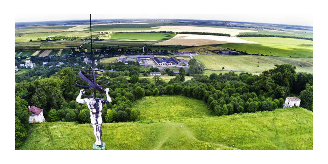
During the task the team made a scan of the castle together with its surroundings. It required flying with a professional drone. In total, the drone made 1,750 high resolution photos and covered the distance of 18 km. The effect of this process was to create an accurate geodetic map of the castle hill with buildings. Below we present the castle projection with the surroundings in orthophotography and orthoplans with generated contour lines.
orthophotography of the castle with the surroundings from a bird's eye view
Below we present the generated accuracy report of the scanning process. We publish the report in English.
Raport
orthophotography of the castle with the surroundings from a bird's eye view
Below we present the generated accuracy report of the scanning process. We publish the report in English.
Raport
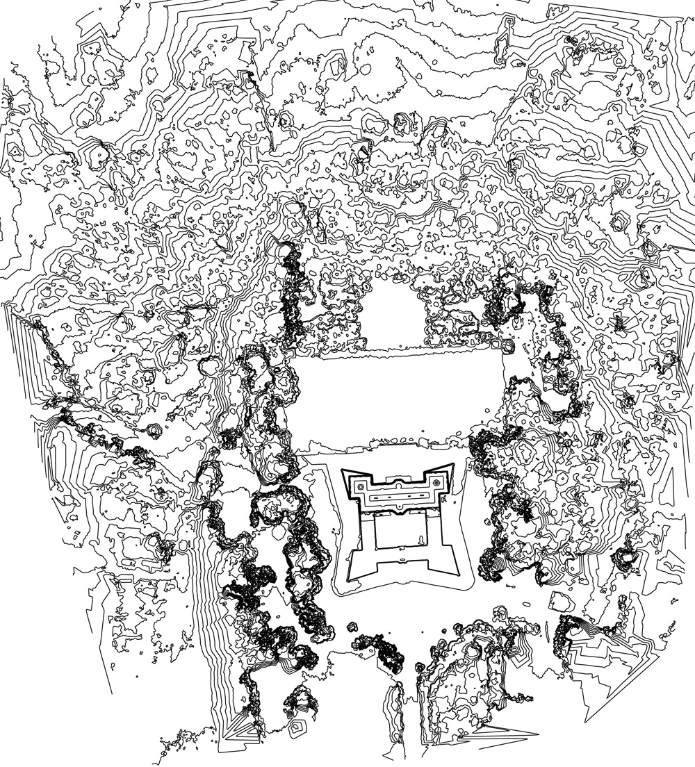
view from the top
 DSM
DSM
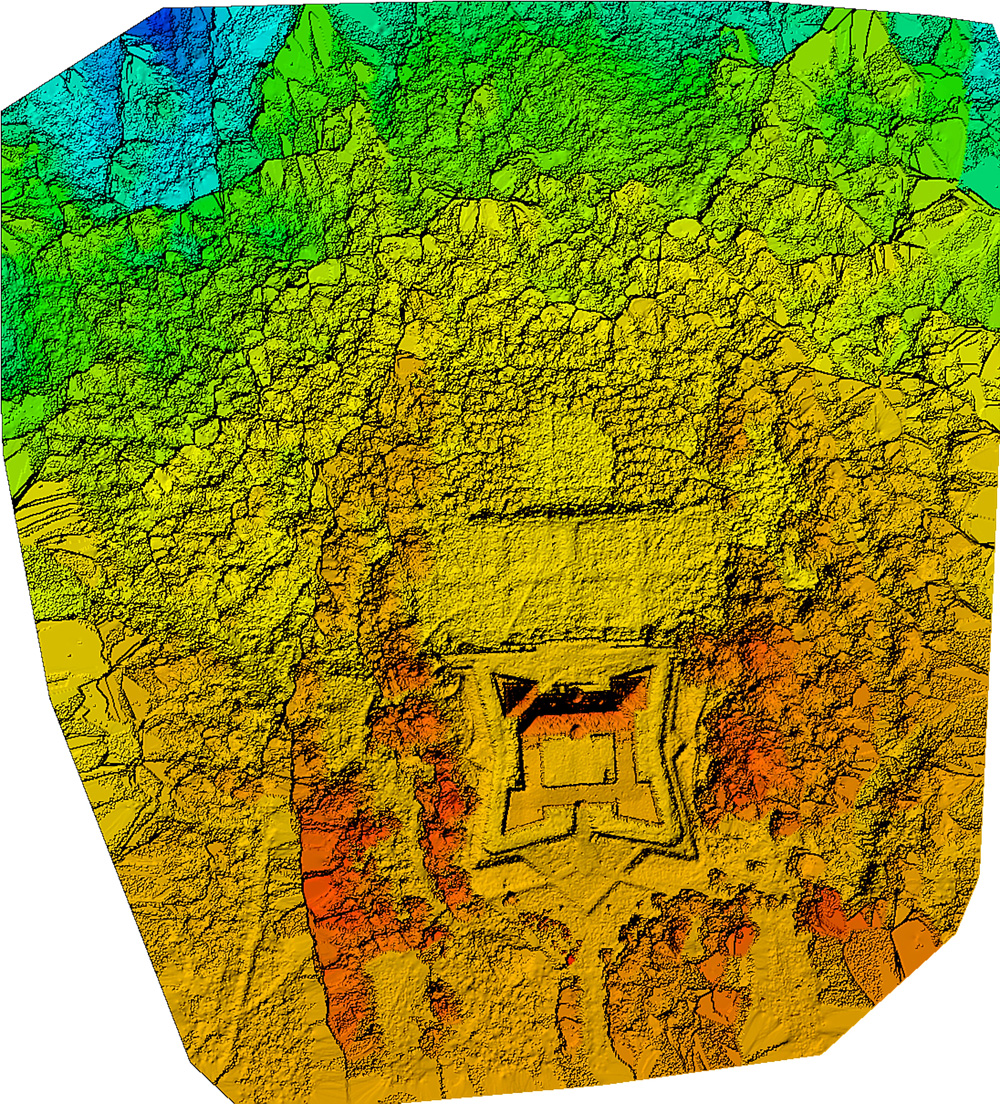 Colored DSM